A loose loop through the dry heart of the South Island.
Roughly 250–300 km depending on how many side roads you take. It connects Alexandra, Clyde, Cromwell, Arrowtown, and Middlemarch — small places linked by quiet sealed roads, schist hills, and the kind of valleys that make you ease off the throttle without thinking.
Queenstown is the usual entry point, but this route begins properly once you leave its orbit. I’ve driven it in autumn when the poplars turn gold against the brown hills, and in spring when everything is green for a brief moment. Either way, the light is sharp, the air dry, and the traffic thins the further you go from the lakes.
Start in Alexandra. Solid base — fuel, supermarkets, a few honest cafes. The old bridge over the Clutha River is worth a look; the water runs fast and cold below.
Head north to Clyde. Short drive, gentle hills. Clyde feels deliberate — stone buildings from the gold-rush days, narrow streets, a handful of good eateries. The café on the main street does coffee that tastes better because you’re not rushing. Walk the river track if the legs need moving; it’s flat, shaded, quiet.
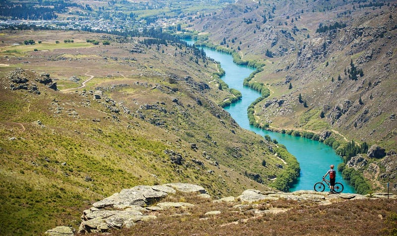
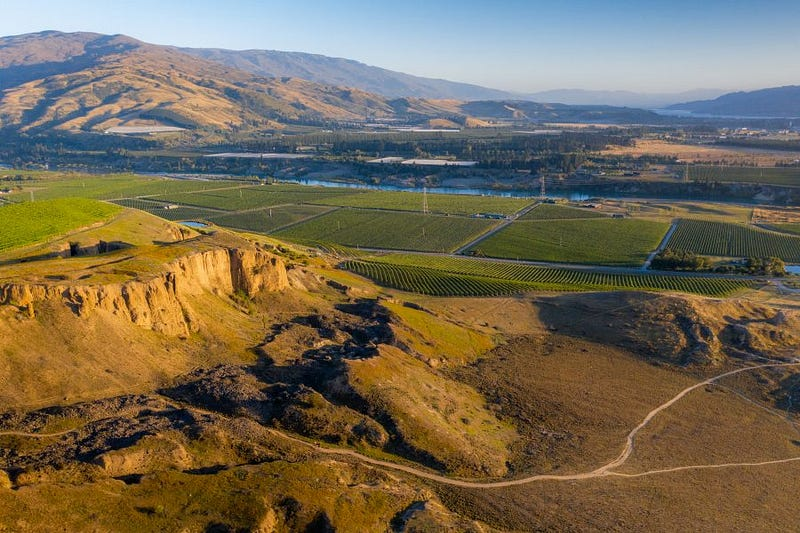
From Clyde, the road climbs toward Cromwell. The Cromwell Gorge section narrows — lake on one side now, thanks to the dam, hills pressing close. Cromwell itself sits at the junction. Fruit stalls line the highway in season; cherries, apricots, whatever’s ripe. The old town precinct has been preserved — stone cottages, a few galleries. Nothing flashy, just preserved.
Arrowtown next — short hop north on SH6 then east. The town slows most people without effort. Gold-rush buildings line the main street, willows along the Arrow River. Chinese settlement ruins at the edge tell a quieter part of the story. Cafes spill onto footpaths; sit with a flat white and watch the day move slowly.
From Arrowtown, loop east toward Middlemarch via the back road through the Maniototo. The landscape opens wide — rolling tussock, big sky, occasional merino flocks. Middlemarch arrives understated. Railway station still in use for the Taieri Gorge train, a few pubs, a bakery that does solid pies. The Rock and Pillar Range rises behind — worth a short drive up if you want views without a full hike.
Detours that tend to matter.
- Bannockburn: Old gold workings, small wineries tucked in gullies.
- Gibbston Valley: Pinot Noir country, cellar doors close to the road.
- St Bathans: Blue Lake (old mine pit), ghost-town feel, pub with history.
Practical notes.
Roads are sealed, well-maintained, but narrow in places — watch for cyclists and farm vehicles. Fuel in Alexandra, Cromwell, Arrowtown. Signal holds in towns, dips in the valleys; an eSIM like ANZroam keeps maps and weather updates steady when a bar appears.
This isn’t a route that demands a plan. You drive, a café catches your eye, you stop. A conversation with a local lasts longer than expected. The hills stay the same whether you’re moving or parked.
That’s what lingers.
#CentralOtagoTouringRoute #SlowTravelNZ #SmallTownNZ #Arrowtown #ClydeNZ #Maniototo #OtagoBackroads #NewZealandRoadTrip
Leave a Reply